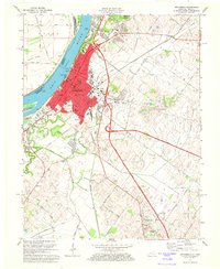
1971 Map of Henderson
USGS Topo · Published 1973About this map
The Ohio River defines the western edge of Henderson, where the city's street grid meets the riverbanks across from Henderson Island. During this era of the early 1970s, the landscape shows a transition from urban industrial centers to the drainage networks of Canoe Creek and Elam Ditch. Civic and educational life is well-documented through landmarks like the Courthouse, Barrett Stadium, and a dense concentration of schools including Henderson Training Sch and South Heights Sch.
Find a feature on this map
71 named features on this map. Tap any name to fly to it.
Don’t see what you’re looking for? This feature index may not catch every label — zoom into the map to look around manually.
Map Details
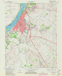
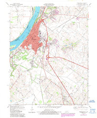
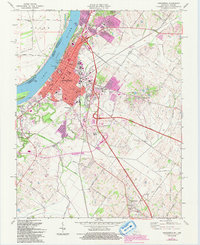
Editions of this 1971 Henderson Map
4 editions found
Other maps of this area

1905 · Newburg
USGS Topo · 1:62,500

1906 · Sebree
USGS Topo · 1:62,500

1908 · Calhoun
USGS Topo · 1:62,500

1914 · Henderson
USGS Topo · 1:48,000

1916 · Henderson
USGS Topo · 1:62,500

1949 · Poole
USGS Topo · 1:24,000

1949 · Robards
USGS Topo · 1:24,000

1951 · Poole
USGS Topo · 1:24,000

1951 · Robards
USGS Topo · 1:24,000

1951 · Spottsville
USGS Topo · 1:24,000