Loading...
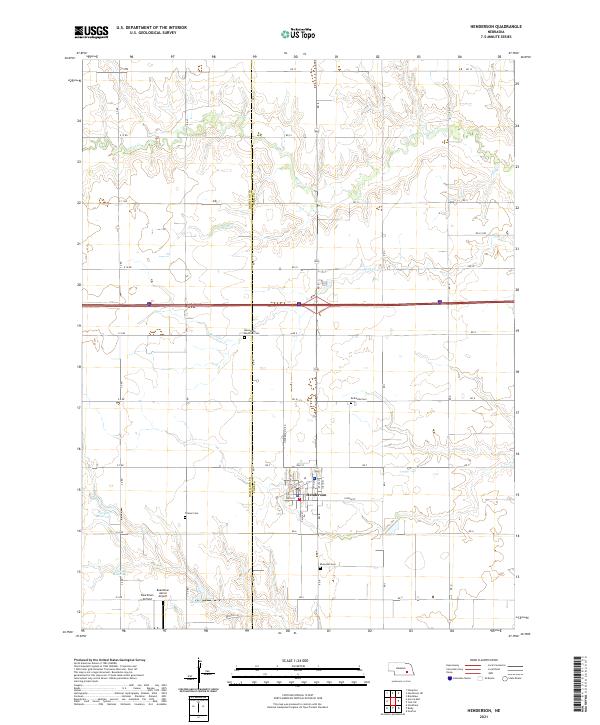
Loading map...2021 Map of Henderson
USGS Topo · Published 2021About this map
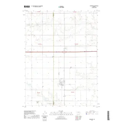
Henderson serves as the central hub for this section of York and Hamilton counties, defined by a strictly organized section-line road network and the winding path of Beaver Cr. The landscape is a testament to the region's deep-rooted agrarian and religious heritage, with numerous family and denominational burial grounds scattered across the countryside, including the Mennonite Brethren Cem, Bethesda Cem, Friesen Cem, and Ebenezer Cem.
Find a feature on this map
47 named features on this map. Tap any name to fly to it.
Don’t see what you’re looking for? This feature index may not catch every label — zoom into the map to look around manually.
Map Details
Date Portrayed2021
Date Published2021
PublisherU.S. Geological Survey
Map TypeTopographic
Scale1:24,000
Physical Dimensions24 x 29 inches
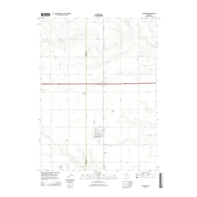
Editions of this 2021 Henderson Map
This is the sole edition of this map. No revisions or reprints were ever made.
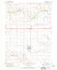
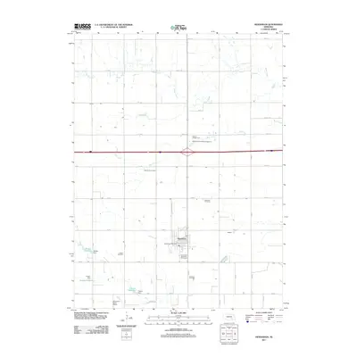
Historical Maps of Henderson Through Time
5 maps found
Featured Locations
Source Details
SourceU.S. Geological Survey
CopyrightPublic Domain