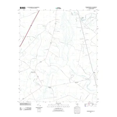
2011 Map of Hendersonville
USGS Topo · Published 2011About this map
Hendersonville and Catholic Hill anchor this South Carolina landscape, where the meandering Ashepoo River defines the drainage patterns and historical property lines. Small crossroads settlements like Bluehouse Corners and Ritter are connected by a network of rural routes, including the prominent Catholic Hill CH road and Great Swamp Rd. The presence of infrastructure such as the Fishpond Bridge and the Bennetts Pond Dam D-0643 at Bennetts Pond reflects the management of local waterways for regional needs. This 2011 survey documents a mix of agricultural tracts and residential pockets, with family-named roads like Dantzler Ln and Peniel Rd tracing long-standing community ties in this part of Colleton County.
Find a feature on this map
62 named features on this map. Tap any name to fly to it.
Don’t see what you’re looking for? This feature index may not catch every label — zoom into the map to look around manually.
Map Details
Editions of this 2011 Hendersonville Map
This is the sole edition of this map. No revisions or reprints were ever made.
Other maps of this area

1918 · Walterboro
USGS Topo · 1:62,500

1918 · Green Pond
USGS Topo · 1:62,500

1918 · Yemassee
USGS Topo · 1:62,500

1919 · Cummings
USGS Topo · 1:62,500

1943 · Yemassee
USGS Topo · 1:62,500

1943 · Green Pond
USGS Topo · 1:62,500

1943 · Cummings
USGS Topo · 1:62,500

1943 · Walterboro
USGS Topo · 1:62,500

1947 · Savannah
USGS Topo · 1:250,000

1948 · Savannah
USGS Topo · 1:250,000