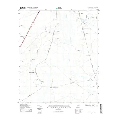
2014 Map of Hendersonville
USGS Topo · Published 2014About this map
Hendersonville and its surrounding hamlets in Colleton County are defined by the winding course of the Ashepoo River, which snakes southward through a landscape of wetlands and low-lying coastal plains. This 2014 survey documents a network of established rural communities, including the notable settlement of Catholic Hill and the intersection at Bluehouse Corners. The geography is heavily influenced by water, with Pringle Cr and Folly Cr draining into the river system. Local transit patterns are anchored by the Hendersonville Hwy and Green Pond Hwy, which connect the scattered residences and landmarks such as Fishpond Bridge. The map captures a mix of longstanding family-named roads and newer developments, reflecting the steady evolution of this Lowcountry region while preserving its distinct rural character and original land divisions.
Find a feature on this map
63 named features on this map. Tap any name to fly to it.
Don’t see what you’re looking for? This feature index may not catch every label — zoom into the map to look around manually.
Map Details
Editions of this 2014 Hendersonville Map
This is the sole edition of this map. No revisions or reprints were ever made.
Other maps of this area
1918 · Walterboro
USGS Topo · 1:62,500
1918 · Green Pond
USGS Topo · 1:62,500
1918 · Yemassee
USGS Topo · 1:62,500
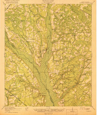
1919 · Cummings
USGS Topo · 1:62,500
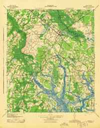
1943 · Yemassee
USGS Topo · 1:62,500
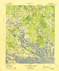
1943 · Green Pond
USGS Topo · 1:62,500
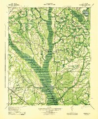
1943 · Cummings
USGS Topo · 1:62,500
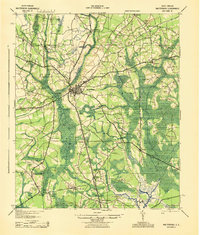
1943 · Walterboro
USGS Topo · 1:62,500
1947 · Savannah
USGS Topo · 1:250,000
1948 · Savannah
USGS Topo · 1:250,000