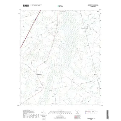
2020 Map of Hendersonville
USGS Topo · Published 2020About this map
Ashepoo River and its dense network of wetlands dominate this portion of Colleton County, where the Lowcountry landscape is defined by vast tracts like the Great Swamp and Bluehouse Swamp. These wetlands dictate the patterns of local settlement and transport, with small communities such as Hendersonville and Bluehouse Corners positioned on higher ground along the road corridors. The presence of naming conventions like Fishpond Bridge and various creek systems, including Pringle Cr and Folly Cr, suggests a historical reliance on these waterways for both drainage and local boundary marking.
Find a feature on this map
59 named features on this map. Tap any name to fly to it.
Don’t see what you’re looking for? This feature index may not catch every label — zoom into the map to look around manually.
Map Details
Editions of this 2020 Hendersonville Map
This is the sole edition of this map. No revisions or reprints were ever made.
Other maps of this area

1918 · Walterboro
USGS Topo · 1:62,500

1918 · Green Pond
USGS Topo · 1:62,500

1918 · Yemassee
USGS Topo · 1:62,500

1919 · Cummings
USGS Topo · 1:62,500

1943 · Yemassee
USGS Topo · 1:62,500

1943 · Green Pond
USGS Topo · 1:62,500

1943 · Cummings
USGS Topo · 1:62,500

1943 · Walterboro
USGS Topo · 1:62,500

1947 · Savannah
USGS Topo · 1:250,000

1948 · Savannah
USGS Topo · 1:250,000