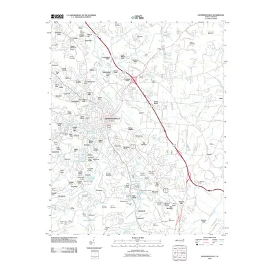
2010 Map of Hendersonville
USGS Topo · Published 2010About this map
Hendersonville serves as the central hub for this North Carolina mountain landscape, where numerous smaller residential communities and mountain peaks converge. The area is defined by its complex hydrology, featuring dozens of named water bodies like Mud Creek, Bat Fork, and the Johnson Ditch which weave through the terrain. Cultural and recreational sites are prominent, including the Flat Rock Playhouse, Camp Pinewood, and the Bonclarken Assembly Grounds.
Find a feature on this map
193 named features on this map. Tap any name to fly to it.
Don’t see what you’re looking for? This feature index may not catch every label — zoom into the map to look around manually.
Map Details
Editions of this 2010 Hendersonville Map
This is the sole edition of this map. No revisions or reprints were ever made.
Other maps of this area
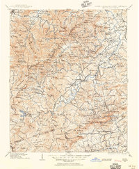
1905 · Pisgah
USGS Topo · 1:125,000
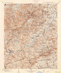
1906 · Pisgah
USGS Topo · 1:125,000

1907 · Saluda
USGS Topo · 1:125,000
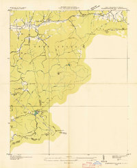
1935 · Standingstone Mtn.
USGS Topo · 1:24,000
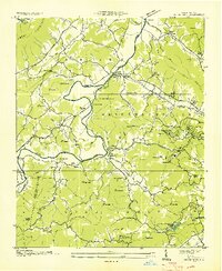
1935 · Horse Shoe
USGS Topo · 1:24,000
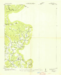
1935 · Batcave
USGS Topo · 1:24,000
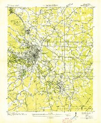
1935 · Hendersonville
USGS Topo · 1:24,000
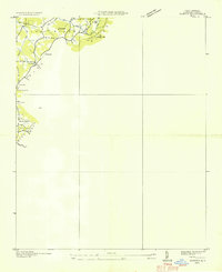
1935 · Fishtop
USGS Topo · 1:24,000
1935 · Zirconia
USGS Topo · 1:24,000
1936 · Skyland
USGS Topo · 1:24,000