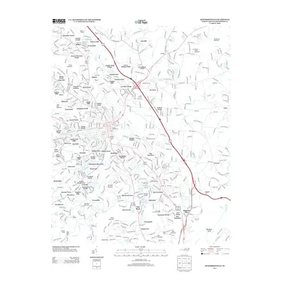
2013 Map of Hendersonville
USGS Topo · Published 2013About this map
Mountain Home and the northern reaches of Hendersonville anchor this 2013 topographic study, revealing a landscape defined by residential growth and community institutions. Significant landmarks such as the W.N.C. Air Museum Airport and the Western North Carolina Fairgrounds sit near the center of the sheet, surrounded by established neighborhoods like Balfour, Pinehurst, and Grimesdale. The terrain rises toward Stoney Mountain and Glassy Mountain, while the hydrology is dominated by Mud Creek and its many tributaries.
Find a feature on this map
117 named features on this map. Tap any name to fly to it.
Don’t see what you’re looking for? This feature index may not catch every label — zoom into the map to look around manually.
Map Details
Editions of this 2013 Hendersonville Map
This is the sole edition of this map. No revisions or reprints were ever made.
Other maps of this area

1905 · Pisgah
USGS Topo · 1:125,000

1906 · Pisgah
USGS Topo · 1:125,000

1907 · Saluda
USGS Topo · 1:125,000

1935 · Standingstone Mtn.
USGS Topo · 1:24,000

1935 · Horse Shoe
USGS Topo · 1:24,000

1935 · Batcave
USGS Topo · 1:24,000

1935 · Hendersonville
USGS Topo · 1:24,000

1935 · Fishtop
USGS Topo · 1:24,000

1935 · Zirconia
USGS Topo · 1:24,000

1936 · Skyland
USGS Topo · 1:24,000