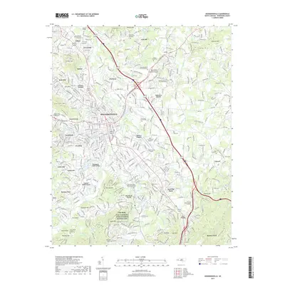
2019 Map of Hendersonville
USGS Topo · Published 2019About this map
Hendersonville and its surrounding communities are documented in high detail on this 2019 survey, illustrating the convergence of suburban growth and preserved history in Henderson County. The landscape is defined by its educational and historical anchors, most notably the Carl Sandburg Home National Historic Site and the historic Saint John In The Wilderness Episcopal Church near Flat Rock. This region, characterized by its numerous small mountains like Stoney Mtn and Sugarloaf Mtn, shows a complex network of residential developments such as Barker Heights and East Flat Rock integrated into the varied terrain.
Find a feature on this map
105 named features on this map. Tap any name to fly to it.
Don’t see what you’re looking for? This feature index may not catch every label — zoom into the map to look around manually.
Map Details
Editions of this 2019 Hendersonville Map
This is the sole edition of this map. No revisions or reprints were ever made.
Other maps of this area

1905 · Pisgah
USGS Topo · 1:125,000

1906 · Pisgah
USGS Topo · 1:125,000

1907 · Saluda
USGS Topo · 1:125,000

1935 · Standingstone Mtn.
USGS Topo · 1:24,000

1935 · Horse Shoe
USGS Topo · 1:24,000

1935 · Batcave
USGS Topo · 1:24,000

1935 · Hendersonville
USGS Topo · 1:24,000

1935 · Fishtop
USGS Topo · 1:24,000

1935 · Zirconia
USGS Topo · 1:24,000

1936 · Skyland
USGS Topo · 1:24,000