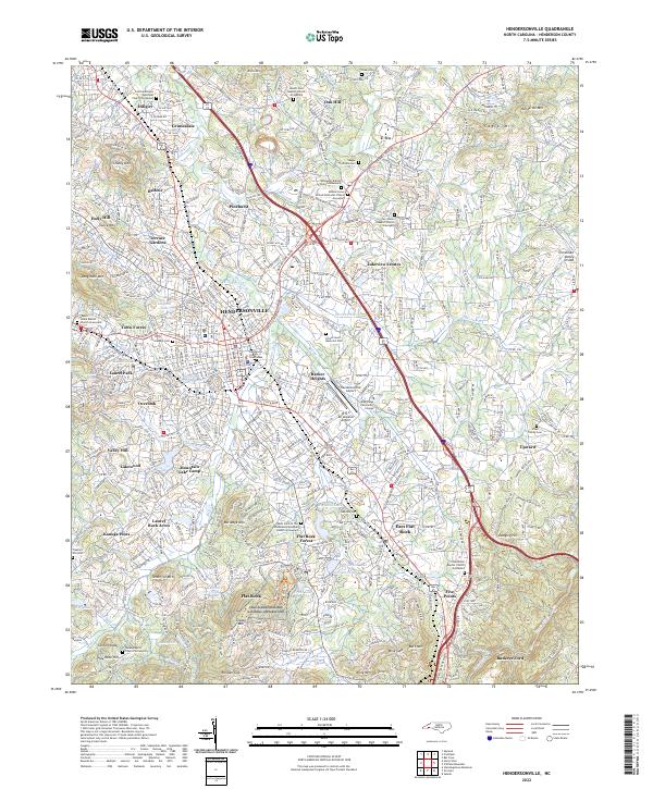
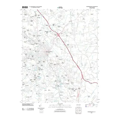
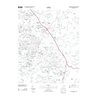
2022 Map of Hendersonville
USGS Topo · Published 2022About this map
Hendersonville serves as the central hub of this mountain landscape, where the Henderson County Courthouse anchors a growing urban core. The surrounding terrain is marked by established neighborhoods like Barker Heights, Laurel Park, and East Flat Rock, all situated west of the Tennessee Valley Divide. This area is particularly rich in genealogical data, featuring numerous historic burial grounds such as the Saint John In The Wilderness Episcopal Church Graveyard and the Oak Grove Baptist Church Graveyard.
Find a feature on this map
100 named features on this map. Tap any name to fly to it.
Don’t see what you’re looking for? This feature index may not catch every label — zoom into the map to look around manually.
Map Details
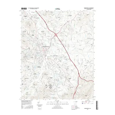
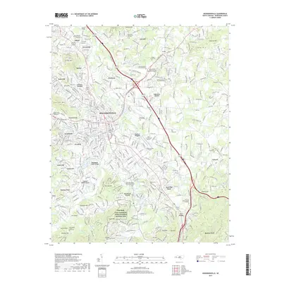
Editions of this 2022 Hendersonville Map
This is the sole edition of this map. No revisions or reprints were ever made.
Historical Maps of Hendersonville Through Time
12 maps found

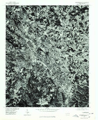
1935 Hendersonville
Henderson County, NC
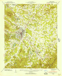
1946 Hendersonville
Henderson County, NC
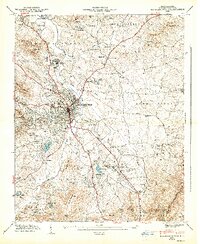
1947 Hendersonville
Henderson County, NC
1965 Hendersonville
Henderson County, NC
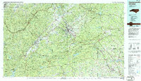
1977 Hendersonville
Henderson County, NC
1986 Hendersonville
Henderson County, NC
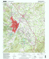
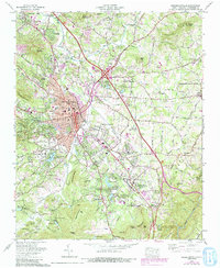
1997 Hendersonville
Henderson County, NC
2010 Hendersonville
Henderson County, NC
2013 Hendersonville
Henderson County, NC
2016 Hendersonville
Henderson County, NC
2019 Hendersonville
Henderson County, NC
2022 Hendersonville
Henderson County, NC