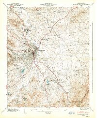
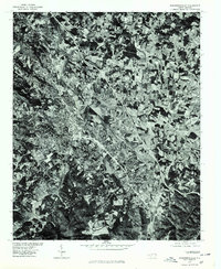
1947 Map of Hendersonville
USGS Topo · Published 1947About this map
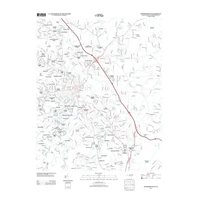
Hendersonville serves as the hub of this 1946 field study, where the Southern railroad line carves a north-south path through the center of town. The landscape is defined by the sharp contrast between the dense street grid of the city and the surrounding peaks of the Blue Ridge, including Stoney Mtn and Glassy Mountain. To the south and east, the map reveals a collection of textile and residential outposts like East Flat Rock and Balfour, alongside numerous rural congregations such as Stanford Chapel, Mt Zion Ch, and Draffin Hall Ch.
Find a feature on this map
73 named features on this map. Tap any name to fly to it.
Don’t see what you’re looking for? This feature index may not catch every label — zoom into the map to look around manually.
Map Details
Editions of this 1947 Hendersonville Map
2 editions found
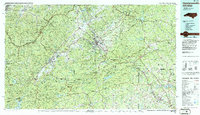
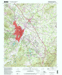
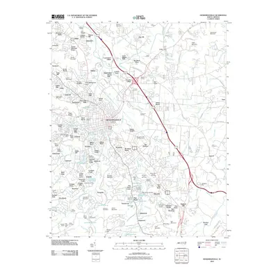
Historical Maps of Hendersonville Through Time
12 maps found

1935 Hendersonville
Henderson County, NC
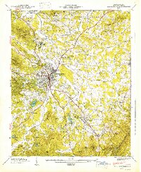
1946 Hendersonville
Henderson County, NC
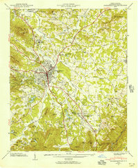
1947 Hendersonville
Henderson County, NC
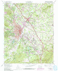
1965 Hendersonville
Henderson County, NC
1977 Hendersonville
Henderson County, NC
1986 Hendersonville
Henderson County, NC
1997 Hendersonville
Henderson County, NC
2010 Hendersonville
Henderson County, NC
2013 Hendersonville
Henderson County, NC
2016 Hendersonville
Henderson County, NC
2019 Hendersonville
Henderson County, NC
2022 Hendersonville
Henderson County, NC