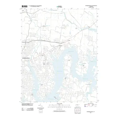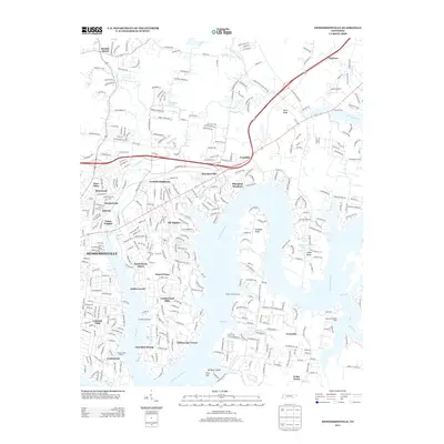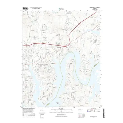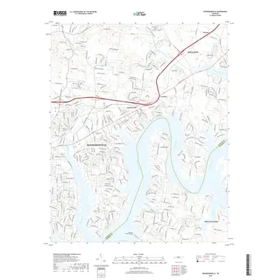
2022 Map of Hendersonville
USGS Topo · Published 2022About this map
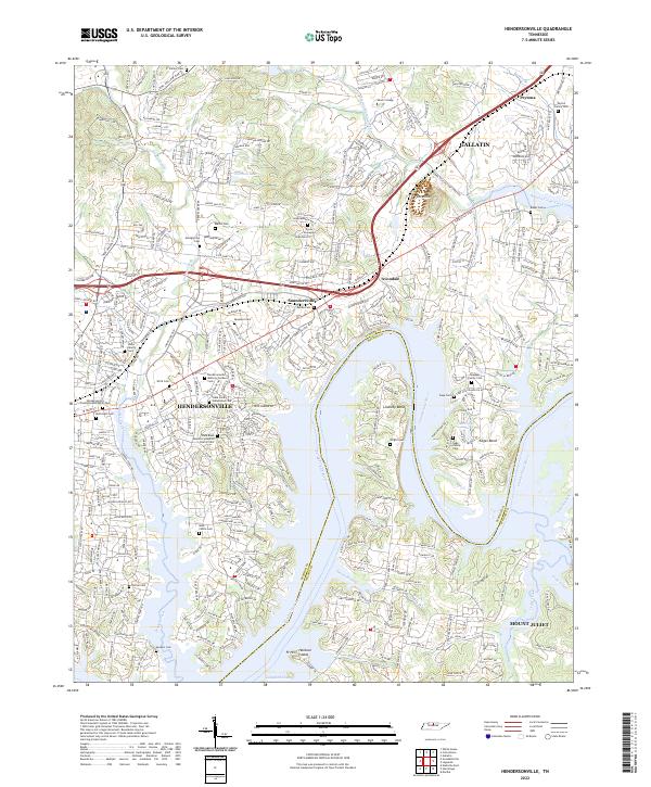
Hendersonville and Gallatin dominate this contemporary survey of the peninsula between Drakes Creek and the winding Cumberland River. The suburban landscape is punctuated by numerous family burial grounds and historical landmarks that speak to the area’s early Tennessee settlement. Notable genealogy sites include the Stark Family Homestead Cem and the Rock Castle Cem, positioned near the waterfront. The geography is defined by the significant inlets of Lindsley Bend and Cages Bend, where the terrain rises toward Pilot Knob. Modern infrastructure like Vietnam Veterans Blvd and Nashville Pike links these growing communities, while institutions like Welch College and Hendersonville Memory Gardens Cem serve as local anchors. The map also captures the Sumner and Wilson county line as it follows the river channel south toward Mount Juliet.
Find a feature on this map
55 named features on this map. Tap any name to fly to it.
Don’t see what you’re looking for? This feature index may not catch every label — zoom into the map to look around manually.
Map Details
Editions of this 2022 Hendersonville Map
This is the sole edition of this map. No revisions or reprints were ever made.
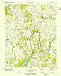
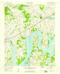
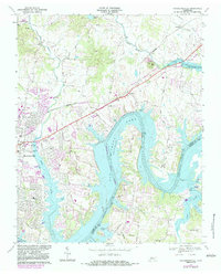
Historical Maps of Nashville Through Time
8 maps found