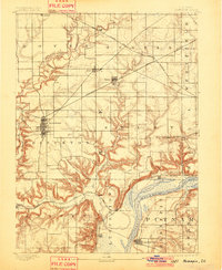
1893 Map of Hennepin
USGS Topo · Published 1901About this map
Princeton serves as a major rail and commercial hub in the late nineteenth century, situated at the intersection of the Chicago Burlington and Quincy Railroad and a network of county roads. The landscape is defined by the deeply incised valleys of Big Bureau Creek and its many tributaries, which carve through the high prairie ground toward the wide bottomlands of the Illinois River. To the southeast, the village of Hennepin overlooks the river's bend, while the industrial and transportation importance of the corridor is signaled by the convergence of rails at Bureau Junction. Small coal and agricultural settlements like Seatonville, Depue, and Malden are scattered across the townships, illustrating the transition from open farming country to the river-based commerce of Lake Depue.
Find a feature on this map
33 named features on this map. Tap any name to fly to it.
Don’t see what you’re looking for? This feature index may not catch every label — zoom into the map to look around manually.
Map Details
Editions of this 1893 Hennepin Map
2 editions found
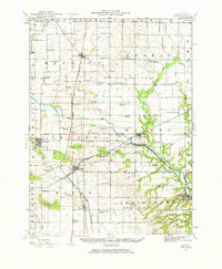
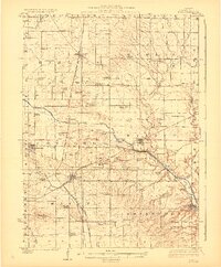
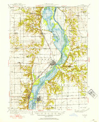
Other maps of this area

1893 · Lacon
USGS Topo · 1:62,500

1893 · Hennepin
USGS Topo · 1:62,500

1893 · Lasalle
USGS Topo · 1:62,500

1909 · Hennepin
USGS Topo · 1:62,500

1911 · La Salle
USGS Topo · 1:62,500

1911 · Hennepin
USGS Topo · 1:62,500

1913 · La Salle
USGS Topo · 1:62,500
1921 · Buda
USGS Topo · 1:62,500
1923 · Buda
USGS Topo · 1:62,500
1933 · Lacon
USGS Topo · 1:62,500