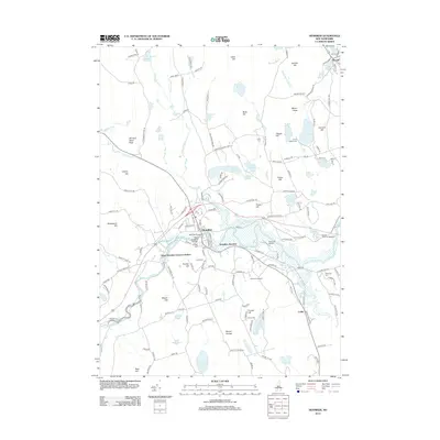
2012 Map of Henniker
USGS Topo · Published 2012About this map
The Contoocook River defines the central corridor of this area, anchoring the town of Henniker and its surrounding hamlets. The town center is a hub of activity, featuring the New England College campus and the landmark Henniker Bridge. The landscape transitions from the river valley to prominent heights such as Mount Hope and Craney Hill, where the Pats Peak Ski Area is situated. Historically significant sites like the Friends Cem and Plummer Cem offer vital clues for genealogical research.
Find a feature on this map
158 named features on this map. Tap any name to fly to it.
Don’t see what you’re looking for? This feature index may not catch every label — zoom into the map to look around manually.
Map Details
Editions of this 2012 Henniker Map
This is the sole edition of this map. No revisions or reprints were ever made.
Other maps of this area

1926 · Hillsboro
USGS Topo · 1:62,500

1927 · Concord
USGS Topo · 1:62,500

1927 · Penacook
USGS Topo · 1:62,500

1928 · Mount Kearsarge
USGS Topo · 1:62,500

1929 · Hillsboro
USGS Topo · 1:62,500

1931 · Mount Kearsarge
USGS Topo · 1:62,500

1949 · Portland
USGS Topo · 1:250,000

1949 · Concord
USGS Topo · 1:62,500

1956 · Penacook
USGS Topo · 1:62,500

1956 · Mt. Kearsarge
USGS Topo · 1:62,500