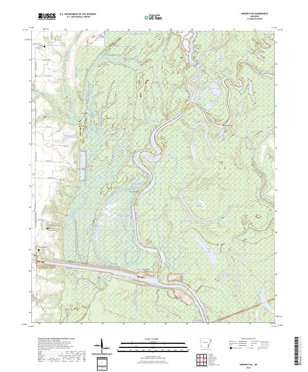
2024 Map of Henrico SW
USGS Topo · Published 2024About this map
The White River winds through a dense network of wetlands and oxbow lakes in this 2024 survey, defining the boundary between Arkansas and Desha counties. Much of the terrain is protected within the Dale Bumpers White River National Wildlife Refuge, where features like Buffalo Bend, Paradise Bay, and Goose Lake illustrate the complex hydrology of the river’s floodplain. This landscape of sloughs and bayous, including La Grue Bayou and Honey Locust Bayou, remains largely undeveloped, preserving a wilderness character that has historically dictated the settlement patterns of the region.
Find a feature on this map
63 named features on this map. Tap any name to fly to it.
Don’t see what you’re looking for? This feature index may not catch every label — zoom into the map to look around manually.
Map Details
Editions of this 2024 Henrico SW Map
This is the sole edition of this map. No revisions or reprints were ever made.
Other maps of this area

1935 · Red Fork
USGS Topo · 1:62,500

1935 · Gillett
USGS Topo · 1:62,500

1939 · Henrico
USGS Topo · 1:62,500

1939 · Big Island
USGS Topo · 1:62,500

1948 · Helena
USGS Topo · 1:250,000

1950 · Helena
USGS Topo · 1:250,000

1953 · Greenwood
USGS Topo · 1:250,000

1954 · Henrico
USGS Topo · 1:62,500

1955 · Helena
USGS Topo · 1:250,000

1956 · Greenwood
USGS Topo · 1:250,000