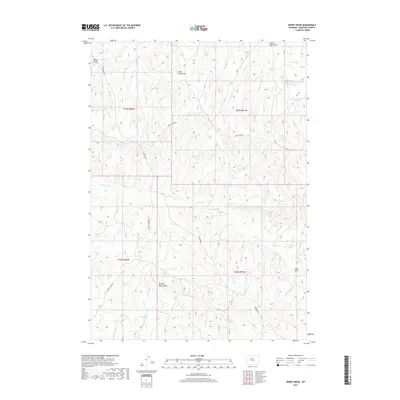
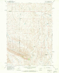
2017 Map of Henry Draw
USGS Topo · Published 2017About this map
Henry Draw and the surrounding drainage basins of the Big Horn Basin offer a clear view of the arid, dissected landscape in Washakie County during the early 21st century. The map reveals a sophisticated network of small-scale water management for ranching and livestock, evidenced by scattered catchments like Hampton Reservoir Number 3, Hampton Reservoir Number 4, and Pinky Reservoir. This area is defined by its numerous topographic depressions and seasonal watercourses, including Little Sand Draw, Denver Jake Draw, and Murphy Dome Draw. Human presence is marked primarily by rugged access routes such as Devils Slide Rd and Murphy Dome Rd, which navigate the high-relief terrain between Mud Cr and the larger Nowater Cr system. The cadastral grid of T44N and T45N organizes this sparsely populated territory, where life and industry are dictated by the presence of water at sites like Seaman Hill Reservoir.
Find a feature on this map
18 named features on this map. Tap any name to fly to it.
Don’t see what you’re looking for? This feature index may not catch every label — zoom into the map to look around manually.
Map Details
Editions of this 2017 Henry Draw Map
This is the sole edition of this map. No revisions or reprints were ever made.
Other maps of this area

1955 · Arminto
USGS Topo · 1:250,000

1958 · Arminto
USGS Topo · 1:250,000
1960 · Coyote Hill
USGS Topo · 1:24,000
1960 · Packsaddle Creek
USGS Topo · 1:24,000
1962 · Arminto
USGS Topo · 1:250,000
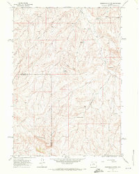
1966 · Zimmerman Buttes
USGS Topo · 1:24,000
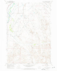
1966 · Banjo Flats West
USGS Topo · 1:24,000
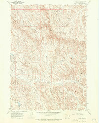
1966 · Cabin Fork
USGS Topo · 1:24,000
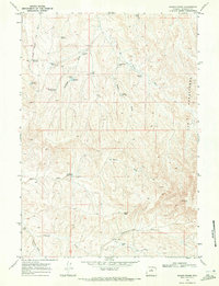
1966 · Wagon Prong
USGS Topo · 1:24,000
1966 · Bader Draw
USGS Topo · 1:24,000