
1966 Map of Cabin Fork
USGS Topo · Published 1971About this map
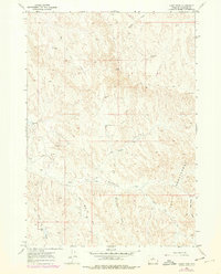
The Honeycombs dominate the eastern landscape of this Washakie County terrain, characterized by a complex network of erosional features and drainage systems. This 1960s survey records a landscape shaped by both natural watercourses and human infrastructure related to livestock and resource extraction. Significant water management is evident at Lyman Reservoir No 1 and Denver Jake Dam, providing critical water sources in a semi-arid environment. The presence of Nowater Creek and the East Fork Cabin Creek illustrates the intricate drainage patterns of the region. Industrial activity is noted through labels for the Macaroni Pit and several dispersed Oil Wells, including a Flowing Well near the western boundary. A single Jeep Trail provides the primary means of traversal through the center of the quadrangle, connecting isolated sites like the Pratt Well.
Find a feature on this map
18 named features on this map. Tap any name to fly to it.
Don’t see what you’re looking for? This feature index may not catch every label — zoom into the map to look around manually.
Map Details
Editions of this 1966 Cabin Fork Map
2 editions found
Other maps of this area

1955 · Sheridan
USGS Topo · 1:250,000

1955 · Arminto
USGS Topo · 1:250,000

1958 · Sheridan
USGS Topo · 1:250,000

1958 · Arminto
USGS Topo · 1:250,000

1962 · Sheridan
USGS Topo · 1:250,000

1962 · Arminto
USGS Topo · 1:250,000

1966 · Deadline Draw
USGS Topo · 1:24,000

1966 · Wagon Prong
USGS Topo · 1:24,000
1966 · Henry Draw
USGS Topo · 1:24,000
1966 · Banjo Flats East
USGS Topo · 1:24,000