Loading...
Loading map...2024 Map of Henry
USGS Topo · Published 2024About this map
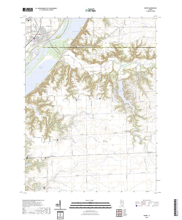
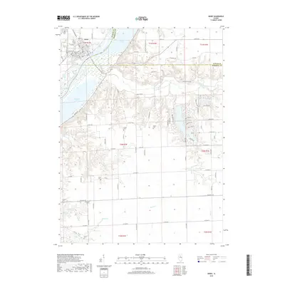
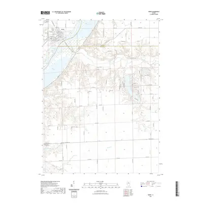
The town of Henry sits at the northern edge of this Illinois landscape, serving as a focal point where the local street grid, including Old Indian Town Rd and College St, meets the western bank of the Illinois River. The river dominates the eastern half of the map, carving a wide valley filled with backwater lakes such as Sawmill Lake and Whitney Lake. This hydrology defines the area's conservation character, notably within the Chautauqua National Wildlife Refuge.
Find a feature on this map
96 named features on this map. Tap any name to fly to it.
Don’t see what you’re looking for? This feature index may not catch every label — zoom into the map to look around manually.
Map Details
Date Portrayed2024
Date Published2024
PublisherU.S. Geological Survey
Map TypeTopographic
Scale1:24,000
Physical Dimensions24 x 29 inches
Editions of this 2024 Henry Map
This is the sole edition of this map. No revisions or reprints were ever made.
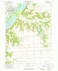
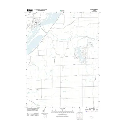
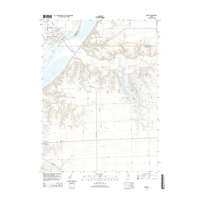
Historical Maps of Henry Through Time
6 maps found
Featured Locations
Source Details
SourceU.S. Geological Survey
CopyrightPublic Domain