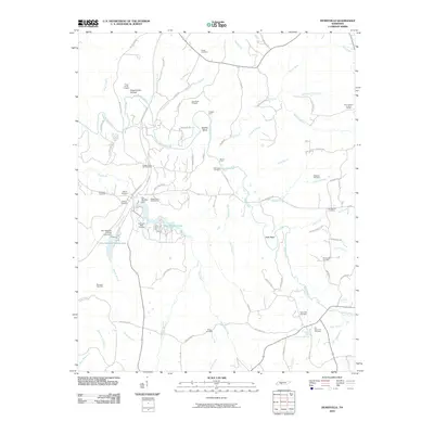
2010 Map of Henryville
USGS Topo · Published 2010About this map
The Buffalo River snakes through this Lewis County landscape, defining the local geography with its sharp bends like Saddler Bend and Ham Bend. By 2010, the area south of the Natchez Trace Pkwy shows a diverse history of extraction and rural settlement. Mining operations are central to the terrain, marked by Napier Mine Number One, Napier Mine Number Two, and several prospects such as Frank Smith Prospect and Dubowich Bank Prospect.
Find a feature on this map
87 named features on this map. Tap any name to fly to it.
Don’t see what you’re looking for? This feature index may not catch every label — zoom into the map to look around manually.
Map Details
Editions of this 2010 Henryville Map
This is the sole edition of this map. No revisions or reprints were ever made.
Other maps of this area

1901 · Colombia
USGS Topo · 1:125,000

1905 · Waynesboro
USGS Topo · 1:125,000

1936 · Riverside
USGS Topo · 1:24,000

1936 · Deerfield
USGS Topo · 1:24,000

1936 · Mt Joy
USGS Topo · 1:24,000

1936 · Henryville
USGS Topo · 1:24,000

1936 · Ethridge
USGS Topo · 1:24,000

1936 · Crestview
USGS Topo · 1:24,000

1936 · Kimmins
USGS Topo · 1:24,000

1936 · Gordonsburg
USGS Topo · 1:24,000