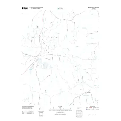
2013 Map of Henryville
USGS Topo · Published 2013About this map
The Buffalo River meanders through this portion of Lewis County, defining a landscape marked by historic crossings and modern recreation. The settlement of Napier sits near the western edge of the quadrangle, adjacent to the extensive waters of Dan Maddox Lake and Dan Maddox Fishing Lake. These water bodies, along with the nearby Metal Ford, suggest a long history of river-dependent activity and transit. Evidence of former transportation infrastructure is visible in the corridor of the Railroad Bed Pike and Railroad Bed Rd, which cut across the central terrain towards the small community of Quercus.
Find a feature on this map
105 named features on this map. Tap any name to fly to it.
Don’t see what you’re looking for? This feature index may not catch every label — zoom into the map to look around manually.
Map Details
Editions of this 2013 Henryville Map
This is the sole edition of this map. No revisions or reprints were ever made.
Other maps of this area

1901 · Colombia
USGS Topo · 1:125,000

1905 · Waynesboro
USGS Topo · 1:125,000

1936 · Riverside
USGS Topo · 1:24,000

1936 · Deerfield
USGS Topo · 1:24,000

1936 · Mt Joy
USGS Topo · 1:24,000

1936 · Henryville
USGS Topo · 1:24,000

1936 · Ethridge
USGS Topo · 1:24,000

1936 · Crestview
USGS Topo · 1:24,000

1936 · Kimmins
USGS Topo · 1:24,000

1936 · Gordonsburg
USGS Topo · 1:24,000