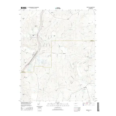
2016 Map of Henryville
USGS Topo · Published 2016About this map
Metal Ford and the winding Buffalo River define this rural landscape on the border of Lewis and Lawrence counties. The geography is deeply etched by a network of hollows, including Sugar Camp Hollow, Limestone Hollow, and Tate Hollow, reflecting the complex drainage patterns of the Western Highland Rim. Settlement is concentrated in small communities like Napier and Henryville, with the latter featuring both its modern Henryville Cem and the Old Henryville Cem. Local transit history is preserved in the naming of Railroad Bed Rd, which cuts through the central terrain toward Quercus. Genealogists will find a high density of family and community burial grounds, from Williams Cem in the north to Brock Cem in the south, while water features like Dan Maddox Lake and Skillman Br provide anchor points for local land surveys.
Find a feature on this map
113 named features on this map. Tap any name to fly to it.
Don’t see what you’re looking for? This feature index may not catch every label — zoom into the map to look around manually.
Map Details
Editions of this 2016 Henryville Map
This is the sole edition of this map. No revisions or reprints were ever made.
Other maps of this area

1901 · Colombia
USGS Topo · 1:125,000

1905 · Waynesboro
USGS Topo · 1:125,000

1936 · Riverside
USGS Topo · 1:24,000

1936 · Deerfield
USGS Topo · 1:24,000

1936 · Mt Joy
USGS Topo · 1:24,000

1936 · Henryville
USGS Topo · 1:24,000

1936 · Ethridge
USGS Topo · 1:24,000

1936 · Crestview
USGS Topo · 1:24,000

1936 · Kimmins
USGS Topo · 1:24,000

1936 · Gordonsburg
USGS Topo · 1:24,000