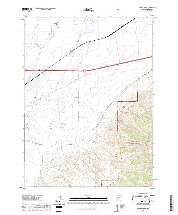
2021 Map of Herder Creek
USGS Topo · Published 2021About this map
Starr Valley serves as a primary corridor for ranching and transport in this corner of Elko County, where the plains meet the rising slopes of the East Humboldt Range. The landscape is defined by the headwaters of the Humboldt River, fed by a network of seasonal and perennial streams including Tabor Cr and Blasingame Cr. Local genealogy and settlement history are centered around the Starr Valley Cem, while the western edge of the Humboldt National Forest marks the transition into more complex high-country terrain.
Find a feature on this map
40 named features on this map. Tap any name to fly to it.
Don’t see what you’re looking for? This feature index may not catch every label — zoom into the map to look around manually.
Map Details
Editions of this 2021 Herder Creek Map
This is the sole edition of this map. No revisions or reprints were ever made.
Other maps of this area

1935 · Halleck
USGS Topo · 1:125,000

1955 · Wells
USGS Topo · 1:250,000

1955 · Elko
USGS Topo · 1:250,000

1958 · Wells
USGS Topo · 1:250,000

1958 · Elko
USGS Topo · 1:250,000

1961 · Wells
USGS Topo · 1:250,000

1962 · Elko
USGS Topo · 1:250,000

1965 · Elko
USGS Topo · 1:250,000

1967 · Welcome
USGS Topo · 1:24,000

1967 · Twin Buttes
USGS Topo · 1:24,000