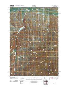
2011 Map of Hereford
USGS Topo · Published 2011About this map
Hereford serves as the primary settlement on this Oregon landscape, situated at the northern edge of the Burnt River Valley. The geography is defined by a complex network of water management, visible through the presence of the Packwood Ditch, Camp Creek Ditch, and the prominent Eldorado Ditch, all of which signify the importance of irrigation in this arid region. To the west, the Higgins Reservoir and its accompanying Higgins Dam collect runoff from Camp Creek to support local agricultural needs.
Find a feature on this map
32 named features on this map. Tap any name to fly to it.
Don’t see what you’re looking for? This feature index may not catch every label — zoom into the map to look around manually.
Map Details
Editions of this 2011 Hereford Map
This is the sole edition of this map. No revisions or reprints were ever made.
Other maps of this area

1901 · Baker City
USGS Topo · 1:125,000

1901 · Sumpter
USGS Topo · 1:125,000

1908 · Ironside Mountain
USGS Topo · 1:125,000

1955 · Baker
USGS Topo · 1:250,000

1955 · Canyon City
USGS Topo · 1:250,000

1959 · Baker
USGS Topo · 1:250,000

1959 · Canyon City
USGS Topo · 1:250,000

1964 · Ironside
USGS Topo · 1:62,500
1967 · Brannan Gulch
USGS Topo · 1:24,000
1972 · Hereford
USGS Topo · 1:24,000