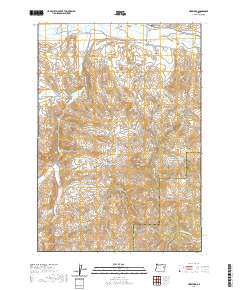
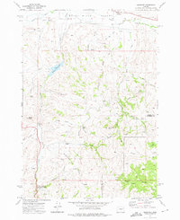
2020 Map of Hereford
USGS Topo · Published 2020About this map
Hereford occupies a strategic position in the Burnt River Valley, where the river's path is tracked by a complex network of agricultural infrastructure. This 2020 survey highlights the intricate water management system essential to eastern Oregon ranching, including the Packwood Ditch, Colt Ware Ditch, and the extensive Eldorado Ditch. Family history is anchored to the landscape at the Boyer Family Cem and the Aunt Polly Cem, while the rugged southern terrain rises toward Murray Peak and Rock Creek Butte. The map details the transition from the irrigated valley floor along Hereford Loop Rd to the high-elevation gulches like Windless Gulch and Juniper Gulch. Researchers can trace the flow from Higgins Reservoir through various draws, illustrating the enduring reliance on these seasonal and managed water sources across the Baker and Malheur county line.
Find a feature on this map
40 named features on this map. Tap any name to fly to it.
Don’t see what you’re looking for? This feature index may not catch every label — zoom into the map to look around manually.
Map Details
Editions of this 2020 Hereford Map
This is the sole edition of this map. No revisions or reprints were ever made.
Other maps of this area
1901 · Baker City
USGS Topo · 1:125,000
1901 · Sumpter
USGS Topo · 1:125,000
1908 · Ironside Mountain
USGS Topo · 1:125,000

1955 · Baker
USGS Topo · 1:250,000
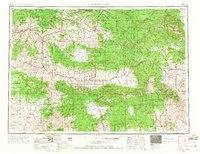
1955 · Canyon City
USGS Topo · 1:250,000

1959 · Baker
USGS Topo · 1:250,000
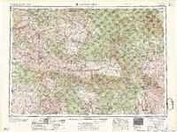
1959 · Canyon City
USGS Topo · 1:250,000
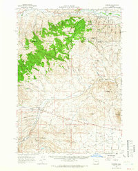
1964 · Ironside
USGS Topo · 1:62,500
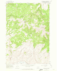
1967 · Brannan Gulch
USGS Topo · 1:24,000
1972 · Hereford
USGS Topo · 1:24,000