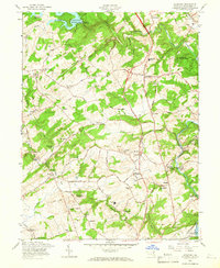
1958 Map of Hereford
USGS Topo · Published 1966About this map
Prettyboy Reservoir and its prominent Prettyboy Dam anchor the northern landscape of this rural Baltimore County region, where the Gunpowder Falls carves through a terrain of winding country roads and scattered crossroads. The late 1950s culture revision reveals a community structured around its spiritual and educational centers, from the Gunpowder Meetinghouse to a high density of rural chapels like Cedar Grove Ch and St Lukes Ch. Industrial and agricultural footprints are visible in the Mushroom Sheds near Western Run and the Pennsylvania railroad line that serves Sparks Sta and Glencoe. This map illustrates the transition of the Maryland countryside, where traditional crossroads like Hereford and Butler remain central hubs even as large-scale water management projects like the Loch Raven Reservoir redefine the local hydrology.
Find a feature on this map
68 named features on this map. Tap any name to fly to it.
Don’t see what you’re looking for? This feature index may not catch every label — zoom into the map to look around manually.
Map Details
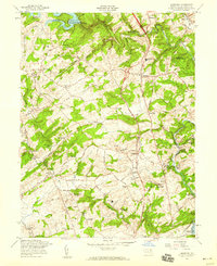
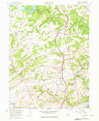
Editions of this 1958 Hereford Map
Other maps of this area

1892 · Ellicott
USGS Topo · 1:62,500

1894 · Ellicott
USGS Topo · 1:62,500

1894 · Baltimore
USGS Topo · 1:62,500

1899 · Baltimore
USGS Topo · 1:62,500

1900 · Parkton
USGS Topo · 1:62,500

1902 · Parkton
USGS Topo · 1:62,500

1904 · Baltimore
USGS Topo · 1:62,500

1905 · Westminster
USGS Topo · 1:62,500

1906 · Ellicott
USGS Topo · 1:62,500

1908 · Patapsco
USGS Topo · 1:125,000