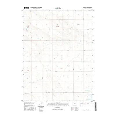
2016 Map of Hereford NW
USGS Topo · Published 2016About this map
Bull Canyon and the high plains of northern Weld County define this landscape, where the drainage patterns of Little Crow Cr and Simpson Cr dictate the layout of rural infrastructure. The map reveals a land managed for water storage in an arid environment, notably featuring the Eagle Rock Reservoir in the northwest and the Adams and Bunker Reservoir Number 1 and Adams and Bunker Reservoir Number 3 in the southeast. These reservoirs, alongside the winding path of Geary Cr, underscore the critical role of water rights and irrigation in this section of Colorado. The strictly gridded road network, including routes like Co RD 71 and Co RD 124, follows the section lines of the Public Land Survey System, illustrating how 19th-century land division continues to organize the modern cattle ranching and agricultural territory of the region.
Find a feature on this map
22 named features on this map. Tap any name to fly to it.
Don’t see what you’re looking for? This feature index may not catch every label — zoom into the map to look around manually.
Map Details
Editions of this 2016 Hereford NW Map
This is the sole edition of this map. No revisions or reprints were ever made.
Other maps of this area

1908 · Eaton
USGS Topo · 1:125,000

1910 · Eaton
USGS Topo · 1:125,000

1911 · Cheyenne
USGS Topo · 1:125,000

1914 · Cheyenne
USGS Topo · 1:125,000

1954 · Cheyenne
USGS Topo · 1:250,000

1954 · Greeley
USGS Topo · 1:250,000

1957 · Greeley
USGS Topo · 1:250,000

1958 · Cheyenne
USGS Topo · 1:250,000

1958 · Greeley
USGS Topo · 1:250,000

1961 · Greeley
USGS Topo · 1:250,000