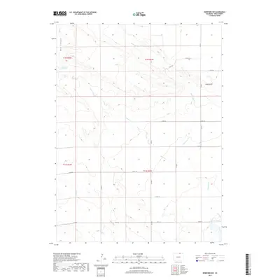
2019 Map of Hereford NW
USGS Topo · Published 2019About this map
Eagle Rock Reservoir sits atop the high plains of northern Weld County, serving as a primary water landmark in this arid section of the Colorado-Wyoming borderlands. The landscape is defined by dramatic erosion features, most notably the Chalk Bluffs and the deeply incised drainage of Bull Canyon. These geological formations break the steady sweep of the range, creating a complex series of draws and ridges that direct the intermittent flows of Simpson Cr and Little Crow Cr.
Find a feature on this map
21 named features on this map. Tap any name to fly to it.
Don’t see what you’re looking for? This feature index may not catch every label — zoom into the map to look around manually.
Map Details
Editions of this 2019 Hereford NW Map
This is the sole edition of this map. No revisions or reprints were ever made.
Other maps of this area

1908 · Eaton
USGS Topo · 1:125,000

1910 · Eaton
USGS Topo · 1:125,000

1911 · Cheyenne
USGS Topo · 1:125,000

1914 · Cheyenne
USGS Topo · 1:125,000

1954 · Cheyenne
USGS Topo · 1:250,000

1954 · Greeley
USGS Topo · 1:250,000

1957 · Greeley
USGS Topo · 1:250,000

1958 · Cheyenne
USGS Topo · 1:250,000

1958 · Greeley
USGS Topo · 1:250,000

1961 · Greeley
USGS Topo · 1:250,000