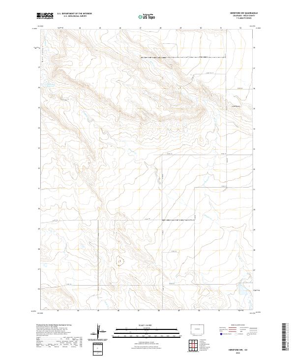
2022 Map of Hereford NW
USGS Topo · Published 2022About this map
Eagle Rock Reservoir and the stark geological formations of Chalk Bluffs anchor this high-plains landscape in northern Weld County. The terrain is defined by a dendritic network of ephemeral drainages, including Bull Canyon in the northwest and the winding paths of Simpson Cr, Geary Cr, and Porter Creek. These watercourses dictate the local topography, carving shallow valleys through the open range. A rigid grid of rural corridors, such as Co RD 67 and Co RD 124, cuts across the natural drainage patterns, illustrating the intersection of modern county infrastructure with the traditional grazing lands of the Colorado-Wyoming border region. This survey captures the area's transition from open prairie to a more structured agricultural and resource-managed environment.
Find a feature on this map
23 named features on this map. Tap any name to fly to it.
Don’t see what you’re looking for? This feature index may not catch every label — zoom into the map to look around manually.
Map Details
Editions of this 2022 Hereford NW Map
This is the sole edition of this map. No revisions or reprints were ever made.
Other maps of this area

1908 · Eaton
USGS Topo · 1:125,000

1910 · Eaton
USGS Topo · 1:125,000

1911 · Cheyenne
USGS Topo · 1:125,000

1914 · Cheyenne
USGS Topo · 1:125,000

1954 · Cheyenne
USGS Topo · 1:250,000

1954 · Greeley
USGS Topo · 1:250,000

1957 · Greeley
USGS Topo · 1:250,000

1958 · Cheyenne
USGS Topo · 1:250,000

1958 · Greeley
USGS Topo · 1:250,000

1961 · Greeley
USGS Topo · 1:250,000