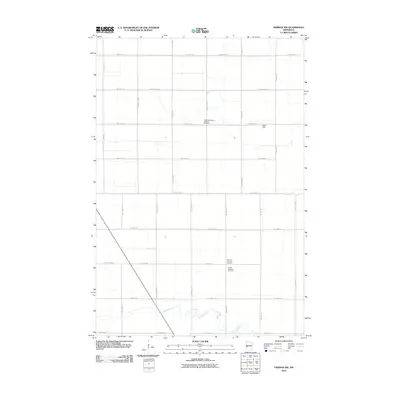
2010 Map of Herman NW
USGS Topo · Published 2010About this map
Mustinka River winds through the southern reaches of this agricultural landscape in Grant County, Minnesota, defining the drainage patterns of the fertile prairie. The area is characterized by a high-density grid of rural roads, including County Hwy 42 and County Hwy 12, which connect the dispersed farmsteads of the region. This 2010 survey highlights the cultural foundations of the local community, preserving the locations of sites like the Sigdal Norwegian Lutheran Cemetery, Norcross Lutheran Cemetery, and Gorton Township Cemetery. These burial grounds, alongside small landmarks such as Ricks Field, provide essential points of reference for genealogists and local historians tracing the heritage of Norwegian settlement and township development in the Upper Midwest.
Find a feature on this map
29 named features on this map. Tap any name to fly to it.
Don’t see what you’re looking for? This feature index may not catch every label — zoom into the map to look around manually.
Map Details
Editions of this 2010 Herman NW Map
This is the sole edition of this map. No revisions or reprints were ever made.
Other maps of this area

1910 · Wendell
USGS Topo · 1:62,500

1911 · Herman
USGS Topo · 1:62,500

1913 · Wendell
USGS Topo · 1:62,500

1951 · Wheaton
USGS Topo · 1:62,500

1951 · Campbell
USGS Topo · 1:62,500

1953 · Milbank
USGS Topo · 1:250,000

1953 · Fargo
USGS Topo · 1:250,000

1956 · Fargo
USGS Topo · 1:250,000

1958 · Milbank
USGS Topo · 1:250,000

1973 · Herman NW
USGS Topo · 1:24,000