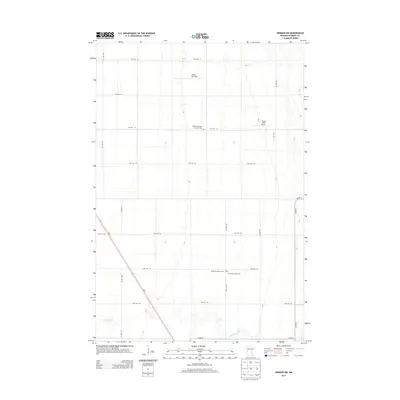
2013 Map of Herman NW
USGS Topo · Published 2013About this map
Sigdal Norwegian Lutheran Cem and Norcross Lutheran Cem sit among the structured grid of Grant County farmland, serving as anchors for the rural community in this part of western Minnesota. The landscape is defined by the meandering course of the Mustinka River as it winds through the southern sections, providing a natural break in the otherwise rigid township road system. This area reflects a long-standing agricultural tradition, supported by local facilities like the Carlson Ag Airport and Ricks Field Airport. Transportation is facilitated by MN-9, which cuts diagonally across the prairie landscape, connecting remote farmsteads to the surrounding region. The presence of the Gorton Township Cem further highlights the local heritage and settlement patterns of Gorton Township.
Find a feature on this map
25 named features on this map. Tap any name to fly to it.
Don’t see what you’re looking for? This feature index may not catch every label — zoom into the map to look around manually.
Map Details
Editions of this 2013 Herman NW Map
This is the sole edition of this map. No revisions or reprints were ever made.
Other maps of this area

1910 · Wendell
USGS Topo · 1:62,500

1911 · Herman
USGS Topo · 1:62,500

1913 · Wendell
USGS Topo · 1:62,500

1951 · Wheaton
USGS Topo · 1:62,500

1951 · Campbell
USGS Topo · 1:62,500

1953 · Milbank
USGS Topo · 1:250,000

1953 · Fargo
USGS Topo · 1:250,000

1956 · Fargo
USGS Topo · 1:250,000

1958 · Milbank
USGS Topo · 1:250,000

1973 · Herman NW
USGS Topo · 1:24,000