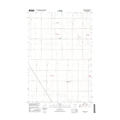
2016 Map of Herman NW
USGS Topo · Published 2016About this map
Sigdal Norwegian Lutheran Cem stands as a focal point for genealogical research in this agricultural region of Grant County, where the landscape is defined by a precise grid of sections and rural roads. The southern portion of the map is shaped by the meandering course of the Mustinka River, which breaks the geometric regularity of the surrounding fields. Local aviation history is represented by Carlson Ag Airport and Ricks Field, reflecting the importance of aerial application and private flight in this farming community. Near the township boundaries, the Norcross Cem and Gorton Township Cem provide further markers of early settlement and community heritage in a landscape dominated by township and range divisions such as t129n r44w and t128n r44w.
Find a feature on this map
39 named features on this map. Tap any name to fly to it.
Don’t see what you’re looking for? This feature index may not catch every label — zoom into the map to look around manually.
Map Details
Editions of this 2016 Herman NW Map
This is the sole edition of this map. No revisions or reprints were ever made.
Other maps of this area

1910 · Wendell
USGS Topo · 1:62,500

1911 · Herman
USGS Topo · 1:62,500

1913 · Wendell
USGS Topo · 1:62,500

1951 · Wheaton
USGS Topo · 1:62,500

1951 · Campbell
USGS Topo · 1:62,500

1953 · Milbank
USGS Topo · 1:250,000

1953 · Fargo
USGS Topo · 1:250,000

1956 · Fargo
USGS Topo · 1:250,000

1958 · Milbank
USGS Topo · 1:250,000

1973 · Herman NW
USGS Topo · 1:24,000