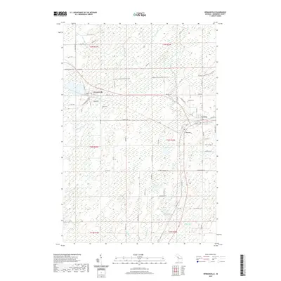
2019 Map of Hermansville
USGS Topo · Published 2019About this map
The unincorporated communities of Hermansville, Powers, and Spalding anchor the landscape of Menominee County, reflecting a settlement pattern deeply tied to the historical movement of timber and ore. The Escanaba to Hermansville State Trail cuts a diagonal path across the northern half of the sheet, tracing a transit corridor that connects these small towns. This survey preserves the locations of local landmarks such as Meyer Cem and Spalding Cem, providing essential points of reference for genealogists tracking families in the northern Upper Peninsula.
Find a feature on this map
66 named features on this map. Tap any name to fly to it.
Don’t see what you’re looking for? This feature index may not catch every label — zoom into the map to look around manually.
Map Details
Editions of this 2019 Hermansville Map
This is the sole edition of this map. No revisions or reprints were ever made.
Other maps of this area

1954 · Escanaba
USGS Topo · 1:250,000

1956 · Foster City
USGS Topo · 1:62,500

1957 · Escanaba
USGS Topo · 1:250,000

1958 · Escanaba
USGS Topo · 1:250,000

1963 · Bark River
USGS Topo · 1:62,500

1963 · Powers
USGS Topo · 1:62,500

1963 · Schaffer
USGS Topo · 1:62,500

1982 · Escanaba
USGS Topo · 1:100,000
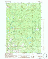
1986 · Waucedah
USGS Topo · 1:24,000
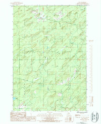
1986 · Vega
USGS Topo · 1:24,000