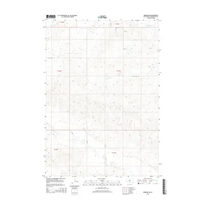
2015 Map of Hermosa NE
USGS Topo · Published 2015About this map
Rapid Creek and its southern tributaries define the drainage patterns of this Pennington County landscape as it appeared in the mid-2010s. The area is characterized by a network of seasonal and perennial waterways, including Spring Creek and Antelope Creek, which carve through the terrain. The human footprint is marked by a grid of rural access routes such as Bradsky Rd and Antelope Creek Rd, alongside more specialized paths like Track Rd and Cattle Dr.
Find a feature on this map
18 named features on this map. Tap any name to fly to it.
Don’t see what you’re looking for? This feature index may not catch every label — zoom into the map to look around manually.
Map Details
Editions of this 2015 Hermosa NE Map
This is the sole edition of this map. No revisions or reprints were ever made.
Other maps of this area

1893 · Rapid
USGS Topo · 1:125,000

1894 · Hermosa
USGS Topo · 1:125,000

1898 · Rapid
USGS Topo · 1:125,000

1901 · Hermosa
USGS Topo · 1:125,000

1903 · Rapid
USGS Topo · 1:125,000

1953 · Boxelder
USGS Topo · 1:24,000

1953 · Hermosa NW
USGS Topo · 1:24,000

1953 · Rapid City East
USGS Topo · 1:24,000

1953 · Hermosa
USGS Topo · 1:24,000

1953 · New Underwood SW
USGS Topo · 1:24,000