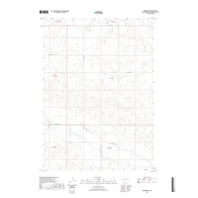
2017 Map of Hermosa NE
USGS Topo · Published 2017About this map
Rapid Creek flows through the northeast corner of this Pennington County landscape, marking a transition in the drainage patterns of the western South Dakota plains. The area is defined by a series of parallel watercourses including Antelope Cr and Spring Cr, which carve through the terrain as they move eastward. The rural infrastructure of the early 21st century is represented by a network of gravel and local access roads like Antelope Creek Rd and Lower Spring Creek Rd, which follow the natural contours and section lines of the Public Land Survey System. The map documents the persistent ranching and agricultural layout of the region, where roads such as Brahman Ln and Bradsky Rd provide connectivity between isolated homesteads and the larger township grids of T1N and T1S.
Find a feature on this map
17 named features on this map. Tap any name to fly to it.
Don’t see what you’re looking for? This feature index may not catch every label — zoom into the map to look around manually.
Map Details
Editions of this 2017 Hermosa NE Map
This is the sole edition of this map. No revisions or reprints were ever made.
Other maps of this area

1893 · Rapid
USGS Topo · 1:125,000

1894 · Hermosa
USGS Topo · 1:125,000

1898 · Rapid
USGS Topo · 1:125,000

1901 · Hermosa
USGS Topo · 1:125,000

1903 · Rapid
USGS Topo · 1:125,000

1953 · Boxelder
USGS Topo · 1:24,000

1953 · Hermosa NW
USGS Topo · 1:24,000

1953 · Rapid City East
USGS Topo · 1:24,000

1953 · Hermosa
USGS Topo · 1:24,000

1953 · New Underwood SW
USGS Topo · 1:24,000