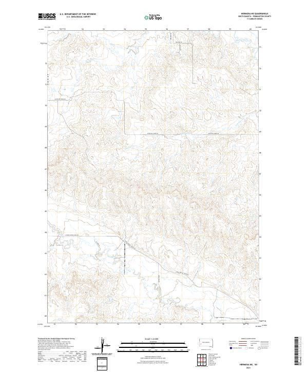
2021 Map of Hermosa NE
USGS Topo · Published 2021About this map
Rapid Creek and Spring Cr define the northern and southern boundaries of this Pennington County landscape, where the high plains of South Dakota meet organized rural infrastructure. The map reveals a transition from the drainage of Dry Cr in the north to the southern reaches of Spring Cr, showing how local topography dictates the winding paths of rural routes like Antelope Creek Rd and Lower Spring Creek Rd. This 2021 survey by the U.S. Geological Survey provides a precise view of section lines and township boundaries, including the intersection of t1n r9e and t1s r9e. The sparse placement of roads such as Bradsky Rd and Cattle Dr underscores the open, ranch-oriented character of the region, where water sources like Antelope Cr remain central to the land's utility.
Find a feature on this map
17 named features on this map. Tap any name to fly to it.
Don’t see what you’re looking for? This feature index may not catch every label — zoom into the map to look around manually.
Map Details
Editions of this 2021 Hermosa NE Map
This is the sole edition of this map. No revisions or reprints were ever made.
Other maps of this area

1893 · Rapid
USGS Topo · 1:125,000

1894 · Hermosa
USGS Topo · 1:125,000

1898 · Rapid
USGS Topo · 1:125,000

1901 · Hermosa
USGS Topo · 1:125,000

1903 · Rapid
USGS Topo · 1:125,000

1953 · Boxelder
USGS Topo · 1:24,000

1953 · Hermosa NW
USGS Topo · 1:24,000

1953 · Rapid City East
USGS Topo · 1:24,000

1953 · Hermosa
USGS Topo · 1:24,000

1953 · New Underwood SW
USGS Topo · 1:24,000