
1923 Map of Herndon
USGS Topo · Published 1923About this map
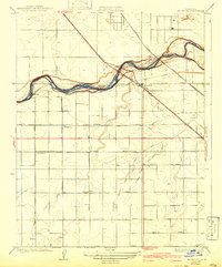
The San Joaquin River carves a winding path through this early twentieth-century landscape, serving as the natural boundary between Madera and Fresno Counties. The village of Herndon sits near the river's edge, positioned at a critical junction where the State Highway and the Southern Pacific railroad span the water. This area is defined by a rigid grid of agricultural roads, including Herndon Avenue and Shaw Avenue, which suggest the systematic development of the San Joaquin Valley’s fertile lands.
Find a feature on this map
16 named features on this map. Tap any name to fly to it.
Don’t see what you’re looking for? This feature index may not catch every label — zoom into the map to look around manually.
Map Details
Editions of this 1923 Herndon Map
2 editions found
Other maps of this area

1921 · Bullard
USGS Topo · 1:31,680

1922 · Lanes Bridge
USGS Topo · 1:31,680

1922 · Gregg
USGS Topo · 1:31,680

1922 · Madera
USGS Topo · 1:31,680

1923 · Kearney Park
USGS Topo · 1:31,680

1923 · Fresno
USGS Topo · 1:31,680

1923 · Biola
USGS Topo · 1:31,680

1923 · Bullard
USGS Topo · 1:31,680
1946 · Fresno South
USGS Topo · 1:24,000
1946 · Madera
USGS Topo · 1:62,500