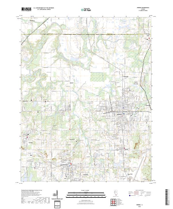
2024 Map of Herrin
USGS Topo · Published 2024About this map
Herrin and the surrounding Williamson County coal belt are defined by a dense network of early 20th-century settlements and family burying grounds. This modern survey illustrates the proximity of places like Dewmaine, Colp, and Energy, which grew alongside the region's mining and industrial expansions. The northern reaches of the Crab Orchard National Wildlife Refuge border the southern edge of Carterville, where established cemeteries such as Oakwood Cem and Hillcrest Cem provide vital links for genealogical research. The Big Muddy River winds through the northern portion of the quadrangle near Royalton, feeding into a landscape carved by small creeks like Pond Creek and Little Hurricane Creek. From the crossroads of Herrin Junction to the quiet corner of Freeman Spur, the map documents the persistent layout of these Southern Illinois communities and their local landmarks, including the Egyptian Memorial Garden and Buster Pond.
Find a feature on this map
188 named features on this map. Tap any name to fly to it.
Don’t see what you’re looking for? This feature index may not catch every label — zoom into the map to look around manually.
Map Details
Editions of this 2024 Herrin Map
This is the sole edition of this map. No revisions or reprints were ever made.
Other maps of this area

1909 · West Frankfort
USGS Topo · 1:62,500

1910 · Herrin
USGS Topo · 1:62,500

1922 · Carbondale
USGS Topo · 1:62,500

1925 · Marion
USGS Topo · 1:62,500

1936 · Herrin
USGS Topo · 1:62,500

1940 · Marion
USGS Topo · 1:62,500

1941 · Carbondale
USGS Topo · 1:62,500

1941 · West Frankfort
USGS Topo · 1:62,500

1949 · Paducah
USGS Topo · 1:250,000

1950 · Paducah
USGS Topo · 1:250,000