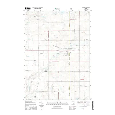
2014 Map of Hesperia
USGS Topo · Published 2014About this map
Hesperia sits at the jurisdictional boundary of Oceana and Newaygo Counties, serving as the central hub of this West Michigan landscape. The town is defined by its relationship with water, specifically the South Branch White River and Hesperia Pond, which anchor the local geography. Outside the village center, the land is marked by a legacy of rural communities and sacred sites, including Saint Huberts and Huber. Genealogists will find significant value in the distribution of local burial grounds such as Christ the King Catholic Cemetery, West Hesperia Cemetery, and East Hesperia Cemetery.
Find a feature on this map
69 named features on this map. Tap any name to fly to it.
Don’t see what you’re looking for? This feature index may not catch every label — zoom into the map to look around manually.
Map Details
Editions of this 2014 Hesperia Map
This is the sole edition of this map. No revisions or reprints were ever made.
Other maps of this area

1931 · Walkerville NE
USGS Topo · 1:31,680

1931 · Walkerville SW
USGS Topo · 1:31,680

1931 · Walkerville NW
USGS Topo · 1:31,680

1931 · Walkerville SE
USGS Topo · 1:31,680

1954 · Milwaukee
USGS Topo · 1:250,000

1954 · Midland
USGS Topo · 1:250,000

1958 · Midland
USGS Topo · 1:250,000

1958 · Milwaukee
USGS Topo · 1:250,000

1958 · Hesperia
USGS Topo · 1:62,500

1958 · Twin Lake
USGS Topo · 1:62,500