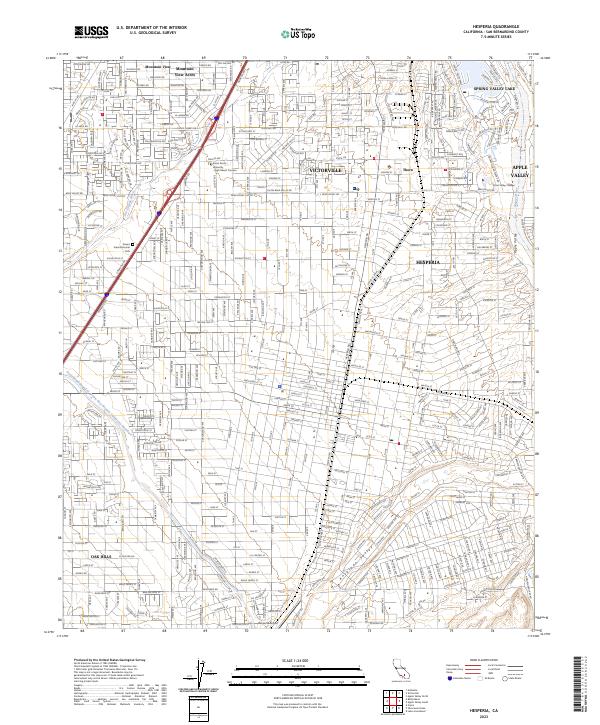
2023 Map of Hesperia
USGS Topo · Published 2023About this map
Hesperia and Victorville occupy the heart of this high-desert landscape, where the Mojave River and Oro Grande Wash shape the terrain. This map captures the intricate street grids of the early 21st century, showing the expansion of residential neighborhoods into the surrounding Antelope Valley. The infrastructure of modern water management is clearly visible through the path of the Governor Edmund G Brown East Branch California Aqueduct, which cuts across the western portion of the sheet.
Find a feature on this map
186 named features on this map. Tap any name to fly to it.
Don’t see what you’re looking for? This feature index may not catch every label — zoom into the map to look around manually.
Map Details
Editions of this 2023 Hesperia Map
This is the sole edition of this map. No revisions or reprints were ever made.
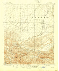
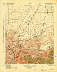
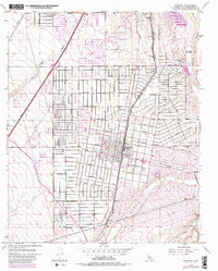
Historical Maps of Victorville Through Time
4 maps found