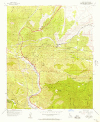
1956 Map of Cajon
USGS Topo · Published 1957About this map
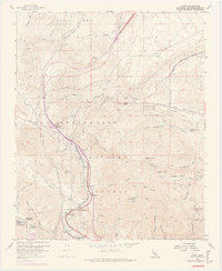
Cajon Pass serves as the focal point for this mid-century survey of the critical mountain gap connecting the Mojave Desert to the Los Angeles Basin. The landscape is defined by the high-traffic infrastructure of the Atchison Topeka and Santa Fe and the Union Pacific Road, which thread through the steep canyons alongside U.S. 66 and U.S. 395. This era shows a network of small settlements and service stops such as Cajon Junction, Alray, and Blue Cut that catered to travelers and railroad operations before the modern interstate era.
Find a feature on this map
58 named features on this map. Tap any name to fly to it.
Don’t see what you’re looking for? This feature index may not catch every label — zoom into the map to look around manually.
Map Details
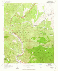
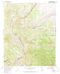
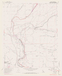
Editions of this 1956 Cajon Map
8 editions found
Other maps of this area

1896 · San Bernardino
USGS Topo · 1:62,500

1897 · Cucamonga
USGS Topo · 1:62,500

1898 · San Bernardino
USGS Topo · 1:62,500

1900 · Cucamonga
USGS Topo · 1:62,500

1901 · Southern California Sheet No. 1
USGS Topo · 1:250,000

1901 · San Bernardino
USGS Topo · 1:62,500

1902 · Hesperia
USGS Topo · 1:62,500

1903 · Cucamonga
USGS Topo · 1:62,500

1903 · San Antonio
USGS Topo · 1:62,500

1904 · Southern California Sheet No. 1
USGS Topo · 1:250,000