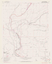
1956 Map of Cajon
USGS Topo · Published 1969About this map
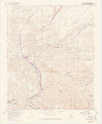
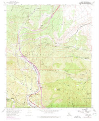
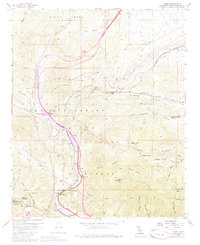
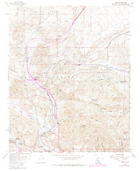
The San Andreas Rift Zone carves a striking path through this high-altitude landscape where the Transverse Ranges meet. Centered on the critical transportation corridor of Cajon Pass, the map details a complex network of infrastructure as it existed in the mid-1950s, later updated in the late 1960s. Major rail lines including the Atchison Topeka and Santa Fe and the Union Pacific Railroad navigate the steep grades alongside early alignments of U.S. 66. Small settlements and outposts like Alray, Cajon, and Keenbrook are nestled within the San Bernardino National Forest. This survey also documents local geography such as Lone Pine Canyon and the Mojave River West Fork, capturing the era when this gateway was a primary artery for travelers and commerce entering the Los Angeles basin from the desert.
Find a feature on this map
59 named features on this map. Tap any name to fly to it.
Don’t see what you’re looking for? This feature index may not catch every label — zoom into the map to look around manually.
Map Details
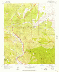
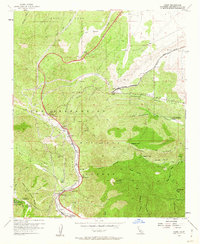
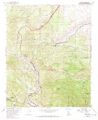
Editions of this 1956 Cajon Map
8 editions found
Other maps of this area

1896 · San Bernardino
USGS Topo · 1:62,500

1897 · Cucamonga
USGS Topo · 1:62,500

1898 · San Bernardino
USGS Topo · 1:62,500

1900 · Cucamonga
USGS Topo · 1:62,500

1901 · Southern California Sheet No. 1
USGS Topo · 1:250,000

1901 · San Bernardino
USGS Topo · 1:62,500

1902 · Hesperia
USGS Topo · 1:62,500

1903 · Cucamonga
USGS Topo · 1:62,500

1903 · San Antonio
USGS Topo · 1:62,500

1904 · Southern California Sheet No. 1
USGS Topo · 1:250,000