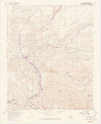
1956 Map of Cajon
USGS Topo · Published 1975About this map
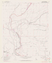
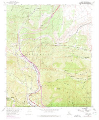
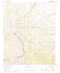
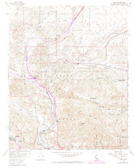
The Cajon Pass serves as the critical gateway through the mountains in this mid-century topographic survey, where the infrastructure of the San Bernardino National Forest meets a complex network of rail and road. The map documents the concentrated transit corridor of the Atchison Topeka and Santa Fe, Southern Pacific, and Union Pacific railroads as they navigate the steep grades near Summit. Small settlements and waypoints like Alray, Cajon, and Keenbrook are nestled along the tracks and Cajon Creek, highlighting the area's importance to California's transportation history.
Find a feature on this map
57 named features on this map. Tap any name to fly to it.
Don’t see what you’re looking for? This feature index may not catch every label — zoom into the map to look around manually.
Map Details
Editions of this 1956 Cajon Map
8 editions found
Other maps of this area

1896 · San Bernardino
USGS Topo · 1:62,500

1897 · Cucamonga
USGS Topo · 1:62,500

1898 · San Bernardino
USGS Topo · 1:62,500

1900 · Cucamonga
USGS Topo · 1:62,500

1901 · Southern California Sheet No. 1
USGS Topo · 1:250,000

1901 · San Bernardino
USGS Topo · 1:62,500

1902 · Hesperia
USGS Topo · 1:62,500

1903 · Cucamonga
USGS Topo · 1:62,500

1903 · San Antonio
USGS Topo · 1:62,500

1904 · Southern California Sheet No. 1
USGS Topo · 1:250,000