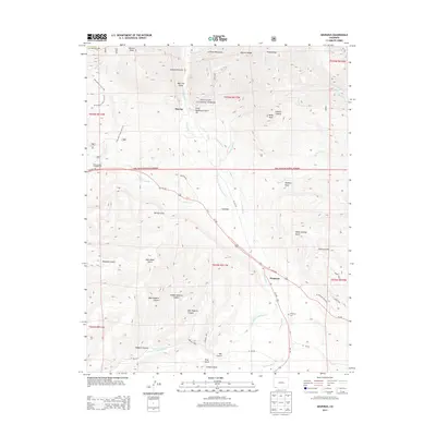
2013 Map of Hesperus
USGS Topo · Published 2013About this map
Hesperus and the surrounding high country of the La Plata Mountains define this landscape, where the La Plata River carves through deep canyons and gulches. The terrain is a network of water management and alpine transit, featuring the Big Stick Ditch and the La Plata River and Cherry Cr Ditch, which reflect the region's reliance on irrigation and water rights. Settlement is concentrated along the river and transportation corridors like Us-160, with the small community of Mayday situated near Parrott Peak and Gold Bar located further south along the riverbanks. High-altitude trails such as the Starvation Creek Trail 167 and Old Gold Run Trail 168 suggest a history of prospecting and forest access within the San Juan National Forest. For those researching local families, the Hesperus Cem remains a primary landmark south of the town center, while the Cherry Creek Campground provides a modern point of reference for the recreational use of the forest lands.
Find a feature on this map
54 named features on this map. Tap any name to fly to it.
Don’t see what you’re looking for? This feature index may not catch every label — zoom into the map to look around manually.
Map Details
Editions of this 2013 Hesperus Map
This is the sole edition of this map. No revisions or reprints were ever made.
Other maps of this area

1895 · La Plata
USGS Topo · 1:62,500

1897 · La Plata
USGS Topo · 1:62,500

1898 · Durango
USGS Topo · 1:62,500

1899 · La Plata
USGS Topo · 1:62,500

1907 · Durango
USGS Topo · 1:62,500

1908 · Ignacio
USGS Topo · 1:125,000

1908 · Durango
USGS Topo · 1:62,500

1908 · La Plata
USGS Topo · 1:62,500

1913 · Red Mesa
USGS Topo · 1:62,500

1924 · Ignacio
USGS Topo · 1:125,000