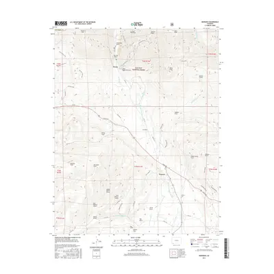
2016 Map of Hesperus
USGS Topo · Published 2016About this map
Hesperus sits at the intersection of high alpine peaks and agricultural valleys, anchored by the La Plata River as it flows south from the San Juan National Forest. This 2016 survey highlights a landscape defined by its irrigation history and mountain access, featuring complex water management systems like the La Plata River and Cherry Cr Ditch and the Hay Gulch Irrigation Ditch. While Us 160 and the Navajo Trl provide modern transit, the map preserves traces of earlier eras through the marked Railroad Grade and historic routes like the Old Gold Run Trail. The terrain transitions from the rugged heights of Parrott Peak and Ohwiler Ridge down into the canyon systems of West Roberts and Middle Roberts Canyon. Local history is grounded at the Hesperus Cem, while smaller settlements such as Mayday and Gold Bar remain named in the river's northern reaches.
Find a feature on this map
65 named features on this map. Tap any name to fly to it.
Don’t see what you’re looking for? This feature index may not catch every label — zoom into the map to look around manually.
Map Details
Editions of this 2016 Hesperus Map
This is the sole edition of this map. No revisions or reprints were ever made.
Other maps of this area

1895 · La Plata
USGS Topo · 1:62,500

1897 · La Plata
USGS Topo · 1:62,500

1898 · Durango
USGS Topo · 1:62,500

1899 · La Plata
USGS Topo · 1:62,500

1907 · Durango
USGS Topo · 1:62,500

1908 · Ignacio
USGS Topo · 1:125,000

1908 · Durango
USGS Topo · 1:62,500

1908 · La Plata
USGS Topo · 1:62,500

1913 · Red Mesa
USGS Topo · 1:62,500

1924 · Ignacio
USGS Topo · 1:125,000