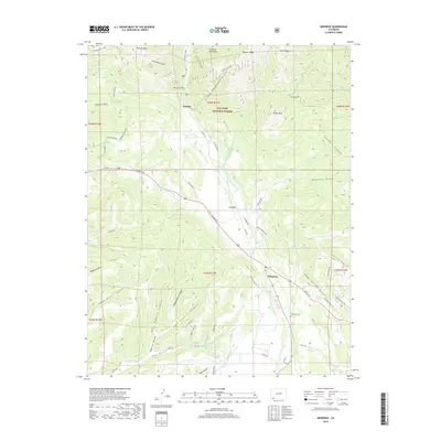
2019 Map of Hesperus
USGS Topo · Published 2019About this map
The La Plata River winds through this mountain corridor, anchoring a landscape where historic mining and agricultural water management intersect. In the north, the San Juan National Forest encompasses high-elevation terrain including Madden Peak and Parrott Peak, while Bay City Gulch points to the area's prospecting past near the settlement of Mayday. The rugged geography is marked by numerous drainage features like Snowslide Gulch and Little Deadwood Gulch, which feed into the main river valley.
Find a feature on this map
62 named features on this map. Tap any name to fly to it.
Don’t see what you’re looking for? This feature index may not catch every label — zoom into the map to look around manually.
Map Details
Editions of this 2019 Hesperus Map
This is the sole edition of this map. No revisions or reprints were ever made.
Other maps of this area

1895 · La Plata
USGS Topo · 1:62,500

1897 · La Plata
USGS Topo · 1:62,500

1898 · Durango
USGS Topo · 1:62,500

1899 · La Plata
USGS Topo · 1:62,500

1907 · Durango
USGS Topo · 1:62,500

1908 · Ignacio
USGS Topo · 1:125,000

1908 · Durango
USGS Topo · 1:62,500

1908 · La Plata
USGS Topo · 1:62,500

1913 · Red Mesa
USGS Topo · 1:62,500

1924 · Ignacio
USGS Topo · 1:125,000