2022 Map of Hesston
USGS Topo · Published 2022About this map
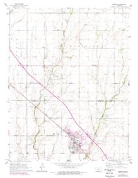
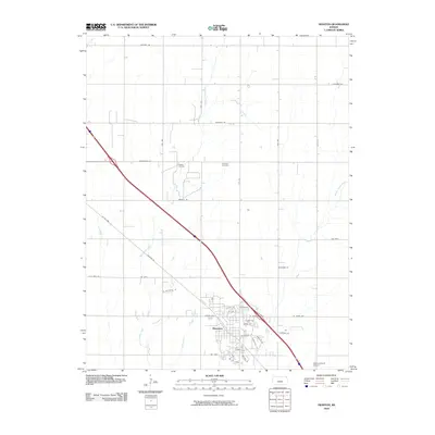
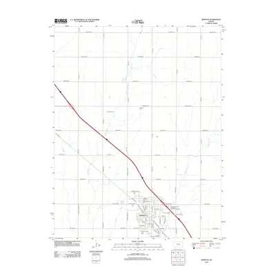
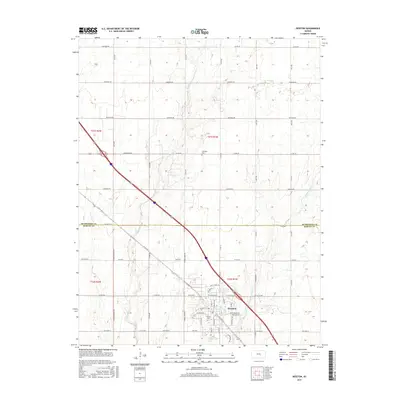
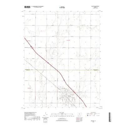
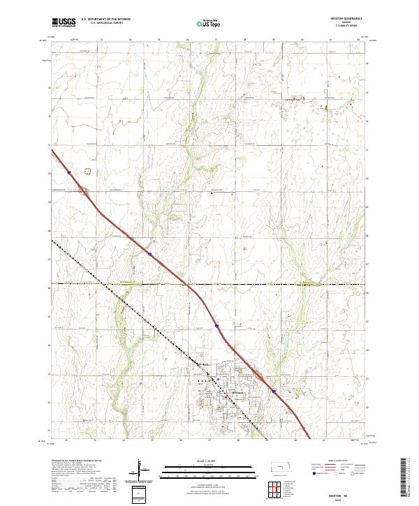
Hesston stands as a central hub of this Kansas landscape, defined by its residential blocks and the presence of Hesston College. The town's layout is intricately detailed, showing its development around key thoroughfares like W Lincoln Blvd and Dutch Ave. Beyond the city limits, the terrain is characterized by the meandering paths of W Emma Cr and Middle Emma Cr, which cut through the agricultural sections. The map reveals the precise boundary line between McPherson Co and Harvey Co, a detail of significance for local researchers and genealogists. Outside the main settlement, rural life is marked by landmarks such as Freedom Cem, positioned along Co Rd 451. This survey provides a clear look at the intersection of collegiate life, municipal growth, and the established section lines that govern the surrounding farmland.
Find a feature on this map
39 named features on this map. Tap any name to fly to it.
Don’t see what you’re looking for? This feature index may not catch every label — zoom into the map to look around manually.
Map Details
Editions of this 2022 Hesston Map
This is the sole edition of this map. No revisions or reprints were ever made.
Historical Maps of Hesston Through Time
6 maps found