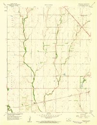
1959 Map of Zimmerdale
USGS Topo · Published 1960About this map
Agricultural life in Harvey County is defined by the convergence of several waterways, including West Emma Creek, Middle Emma Creek, and East Emma Creek, which drain the plains toward the Little Arkansas River. The settlement of Zimmerdale serves as a local hub along the Missouri Pacific railroad, while the southern portion of the map is traversed by the Atchison Topeka and Santa Fe line near the Newton Waterworks.
Find a feature on this map
23 named features on this map. Tap any name to fly to it.
Don’t see what you’re looking for? This feature index may not catch every label — zoom into the map to look around manually.
Map Details
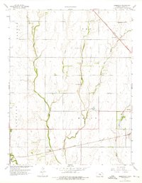
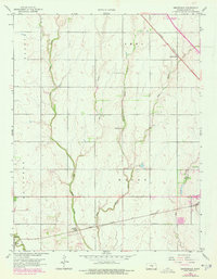
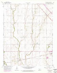
Editions of this 1959 Zimmerdale Map
4 editions found
Other maps of this area

1889 · Newton
USGS Topo · 1:125,000

1889 · Cheney
USGS Topo · 1:125,000

1889 · Wichita
USGS Topo · 1:125,000

1891 · Hutchinson
USGS Topo · 1:125,000

1891 · Cheney
USGS Topo · 1:125,000

1893 · Hutchinson
USGS Topo · 1:125,000

1894 · Wichita
USGS Topo · 1:125,000

1894 · Newton
USGS Topo · 1:125,000

1901 · Cheney
USGS Topo · 1:125,000

1955 · Wichita
USGS Topo · 1:250,000