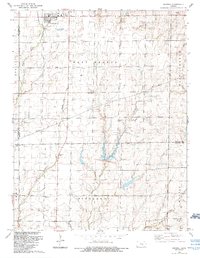
1965 Map of Goessel
USGS Topo · Published 1966About this map
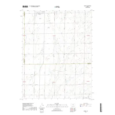
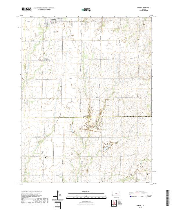
Goessel sits at the northern edge of this survey, where the town grid gives way to a landscape defined by the drainage basins of Middle Branch, West Branch, and Sand Creek. The agricultural character of the mid-1960s is evidenced by the systematic section lines and the small, distributed community centers that anchored rural life. Local social and spiritual foundations are marked by Tabor Ch and Highland Ch, while the burial grounds of Greenfield Cem, Sand Creek Cem, and Walton Cem provide essential data for those tracing family ties in Marion and Harvey counties.
Find a feature on this map
26 named features on this map. Tap any name to fly to it.
Don’t see what you’re looking for? This feature index may not catch every label — zoom into the map to look around manually.
Map Details
Editions of this 1965 Goessel Map
This is the sole edition of this map. No revisions or reprints were ever made.
Historical Maps of Hesston Through Time
7 maps found