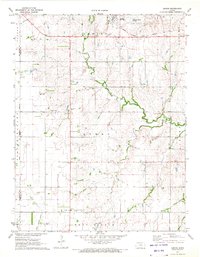
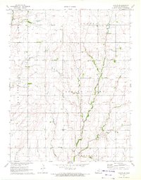
1971 Map of Lehigh
USGS Topo · Published 1972About this map
The town of Lehigh stands at the northern edge of this Marion County survey, anchored by the Atchison Topeka and Santa Fe railroad line. The landscape reflects a deeply established agricultural and religious community, most notably evidenced by the Alexanderwohl Ch and the adjacent Alexanderwohl Friedhof Cem in the southern portion of the quadrangle. These landmarks, along with the Goessel Cem, represent the Mennonite heritage of the region, specifically within the townships of Menno and West Branch.
Find a feature on this map
25 named features on this map. Tap any name to fly to it.
Don’t see what you’re looking for? This feature index may not catch every label — zoom into the map to look around manually.
Map Details
Editions of this 1971 Lehigh Map
2 editions found
Other maps of this area

1889 · Newton
USGS Topo · 1:125,000

1894 · Newton
USGS Topo · 1:125,000

1955 · Hutchinson
USGS Topo · 1:250,000

1957 · Peabody NW
USGS Topo · 1:24,000

1959 · Hutchinson
USGS Topo · 1:250,000

1965 · Goessel
USGS Topo · 1:24,000
1965 · Hesston
USGS Topo · 1:24,000

1971 · Durham
USGS Topo · 1:24,000
1971 · Waldeck
USGS Topo · 1:24,000
1971 · Canton SW
USGS Topo · 1:24,000