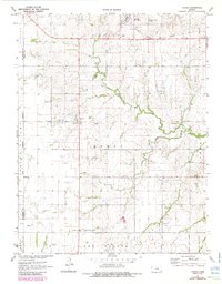
1971 Map of Lehigh
USGS Topo · Published 1985About this map
The town of Lehigh anchors the northern reaches of this rural Kansas landscape, where the Atchison Topeka and Santa Fe railroad line parallels the highway at the edge of town. This agrarian region, surveyed in 1969 and field-checked in 1971, is defined by the winding course of the South Cottonwood River and its tributary, Stony Brook. The map reveals a high density of religious and commemorative sites essential for genealogical research, including the Alexanderwohl Ch, Alexanderwohl Friedhof, and the Alexanderwohl Friedhof Cem.
Find a feature on this map
28 named features on this map. Tap any name to fly to it.
Don’t see what you’re looking for? This feature index may not catch every label — zoom into the map to look around manually.
Map Details
Editions of this 1971 Lehigh Map
2 editions found
Other maps of this area

1889 · Newton
USGS Topo · 1:125,000

1894 · Newton
USGS Topo · 1:125,000

1955 · Hutchinson
USGS Topo · 1:250,000

1957 · Peabody NW
USGS Topo · 1:24,000

1959 · Hutchinson
USGS Topo · 1:250,000

1965 · Goessel
USGS Topo · 1:24,000
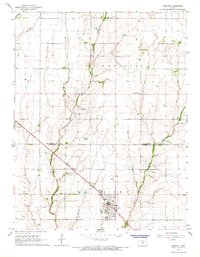
1965 · Hesston
USGS Topo · 1:24,000

1971 · Durham
USGS Topo · 1:24,000
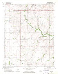
1971 · Lehigh
USGS Topo · 1:24,000
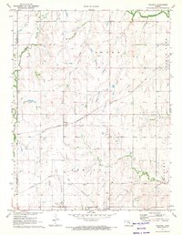
1971 · Waldeck
USGS Topo · 1:24,000