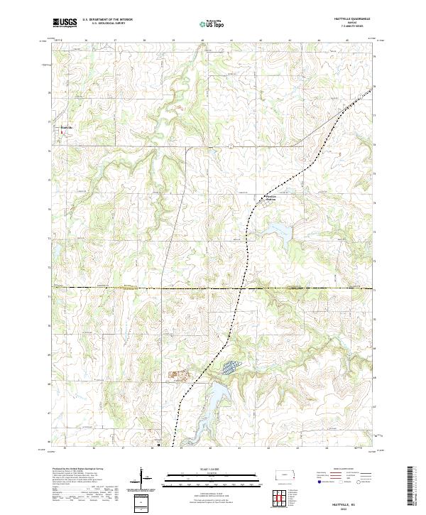
2022 Map of Hiattville
USGS Topo · Published 2022About this map
Hiattville sits in the northwest corner of this Bourbon County landscape, appearing as a compact cluster of structures along the 120th Terrace. The terrain is defined by a dendritic network of small waterways, most notably Elm Cr and Pawnee Creek, which carve subtle valleys through the agricultural grid. To the east, Pawnee Station marks a former rail-side focal point along the northern edge of the Crawford County line, illustrating the historical importance of the corridor that connected these small farming communities. This contemporary survey by the U.S. Geological Survey captures the modern configuration of the borderlands between Bourbon and Crawford counties, where rural road alignments like Calvary Road and Birch Road maintain the traditional section lines established over a century ago.
Find a feature on this map
3 named features on this map. Tap any name to fly to it.
Don’t see what you’re looking for? This feature index may not catch every label — zoom into the map to look around manually.
Map Details
Editions of this 2022 Hiattville Map
This is the sole edition of this map. No revisions or reprints were ever made.
Other maps of this area

1884 · Fort Scott
USGS Topo · 1:125,000

1886 · Fort Scott
USGS Topo · 1:125,000

1893 · Fort Scott
USGS Topo · 1:125,000

1947 · Joplin
USGS Topo · 1:250,000

1948 · Mulberry
USGS Topo · 1:62,500

1948 · Girard
USGS Topo · 1:62,500
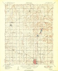
1949 · Girard
USGS Topo · 1:62,500

1949 · Joplin
USGS Topo · 1:250,000
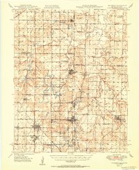
1950 · Mulberry
USGS Topo · 1:62,500

1954 · Joplin
USGS Topo · 1:250,000